
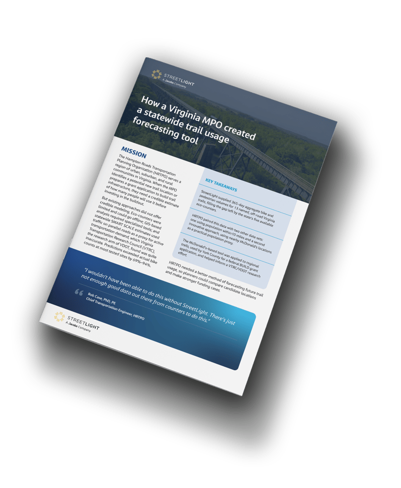
The Hampton Roads Transportation Planning Organization (HRTPO) needed a more reliable way to estimate future trail usage so they could make smart investments in new infrastructure in places where it would have the greatest impact.
With limited counter coverage across Virginia, HRTPO combined StreetLight bike and pedestrian volumes with other trail data to develop two practical forecasting tools.
Read the case study to see how HRTPO used StreetLight data to:
-
 Fill data gaps with annual volumes for 13 off-road Virginia trails
-
Develop two different credible, trail-usage forecasting models
-
Create a McDonald’s-based population proxy accessible for non-GIS users
-
Support regional trail comparisons and a federal BUILD grant application
Empirical bike and ped volumes for data-informed infrastructure decisions

Assess infrastructure demand with a full year of bike and pedestrian volumes, including seasonal comparisons, rather than relying only on peak-day activity.
Evaluate bike and ped activity alongside other key roadway metrics to prioritize the right locations for safety interventions.
Compare candidate locations for interventions and strengthen funding requests with data-driven analysis.
