
 Thursday, December 10, 2026
Your agency faces more traffic calming, safety, and congestion issues than staff and funding can address at once. Seeing how vehicles, freight, pedestrians, and bicycles move across your network gives you the most comprehensive and immediate way to respond quickly, identify the highest-priority interventions, and direct investments with transparency and data. It also gives you immediate, digestible data and visuals to respond to community concerns and share findings with the public.
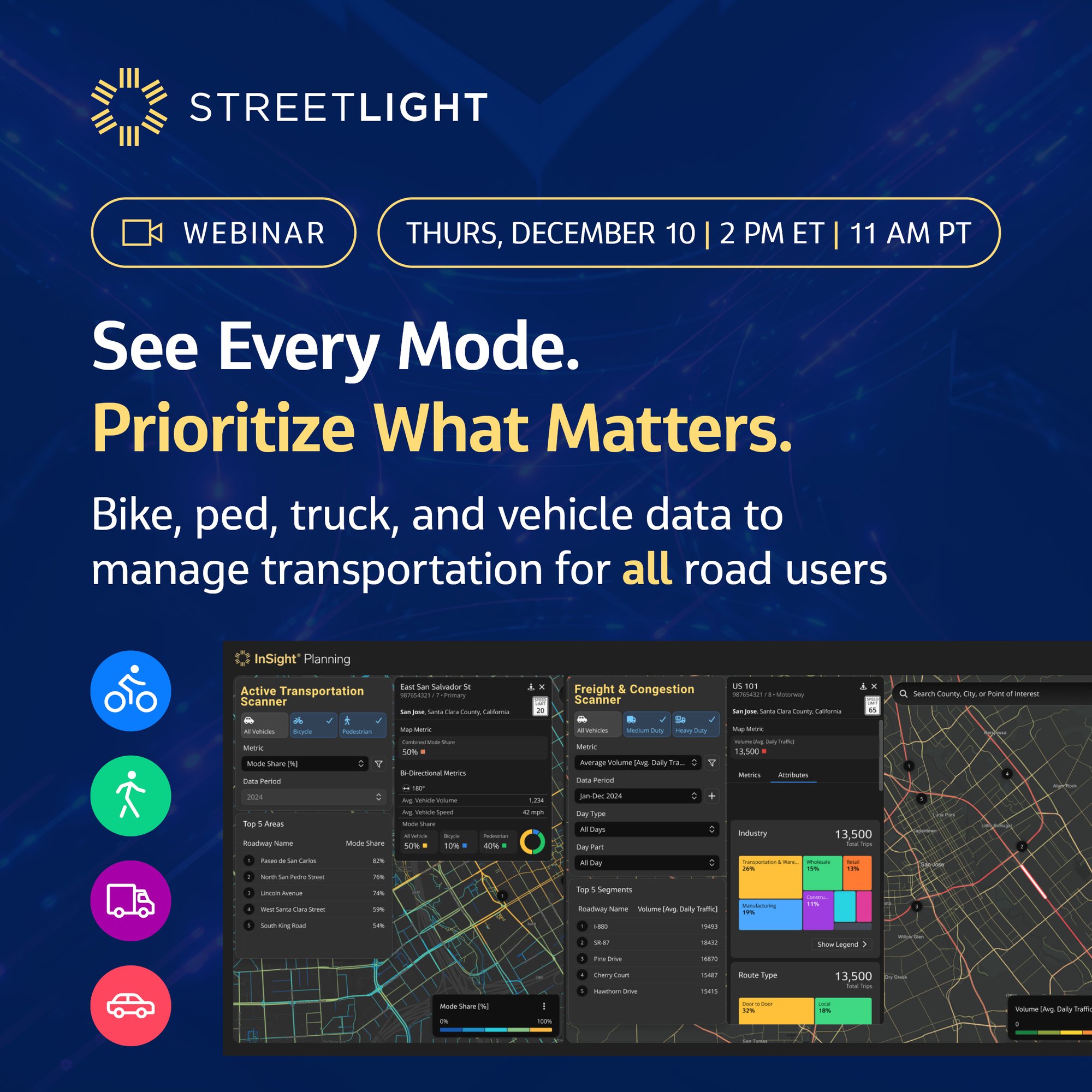
Join StreetLight to explore its new suite of Scanner products, including Street Scanner, Active Transportation Scanner, and Freight & Congestion Scanner and hear how customers are already using these tools for multimodal planning and engagement.
You’ll see how multimodal data supports screening, project prioritization, and before-and-after evaluation as part of a broader planning review.
You’ll learn how to:
-
 Screen candidate locations using multimodal activity, speed, and volume data
-
Investigate issues at scale across your entire network
-
Evaluate changes in travel patterns before and after roadway interventions
-
Communicate immediate data-driven findings to leadership, residents, and other stakeholders
Bring multimodal data into your project decisions

Quickly identify priorities
Use the Scanners to quickly identify priorities with multimodal volumes, speed, and other essential metrics in one place.
Plan for ALL road users
Use Active Transportation Scanner and Freight & Congestion Scanner to bring bicycle, pedestrian, vehicle, and freight activity into your planning questions.
Measure change over time
Compare before-and-after conditions to assess the impact of interventions and share findings with agency and community stakeholders.
