
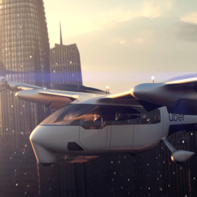
To determine where to locate aerial ridesharing hubs in Los Angeles, Uber built a sophisticated transportation planning model. Because the service manages 15 million trips every day, Uber already had extensive ride-sharing transportation data. But it needed multimodal travel insights.
Download our case study to learn:
- What metrics Uber Air used to optimize site locations
- How many trips per day Uber Air predicts for demand, and how many terminals it needs to meet that demand
- What other factors informed potential terminal locations
Learn how Uber used StreetLight to capture nearly 100% of travel on Los Angeles roads.